
.jpg)


NEW YORK--The United Nations General Assembly has voted overwhelmingly to support the gradual phaseout of the traditional Mercator world map in favor of a projection that more accurately represents the true size of Africa and other regions of the world.
A total of 164 countries voted in favor of the resolution, which promotes the use of a world map based on the 2018 Equal Earth design. The United States was the only country to vote against the measure, describing the resolution as unnecessary, while six countries abstained: Ukraine, Moldova, Georgia, Serbia, Lithuania, Estonia
The resolution was spearheaded by Togo on behalf of the African Union and represents a major victory for the #CorrectTheMap campaign, which has argued that the centuries-old Mercator projection significantly distorts the relative size of continents.
The Mercator projection was introduced by Flemish cartographer Gerardus Mercator in 1569 as a tool to assist maritime navigation. It remains one of the most widely used world map formats in education, technology and governance.
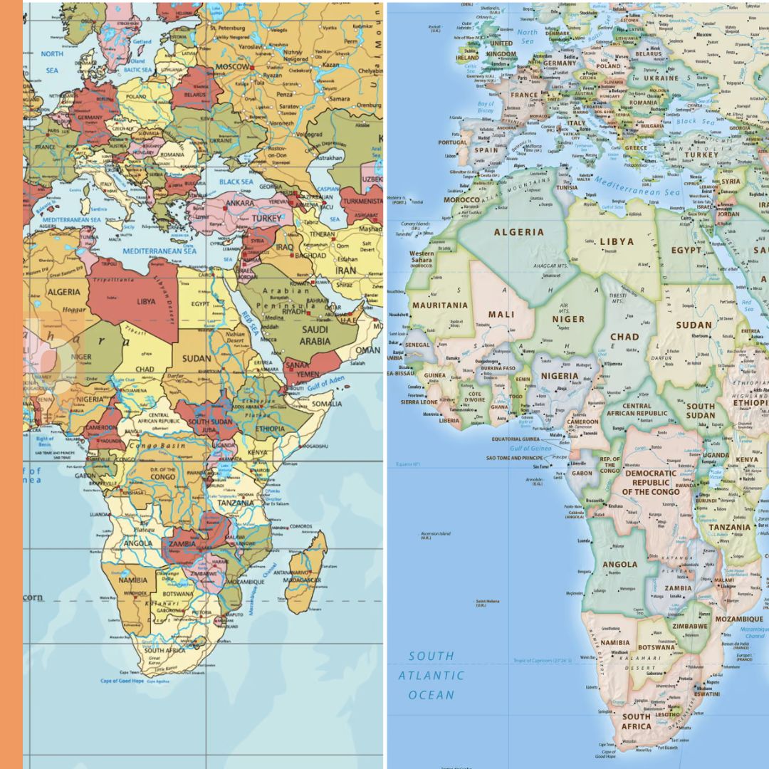
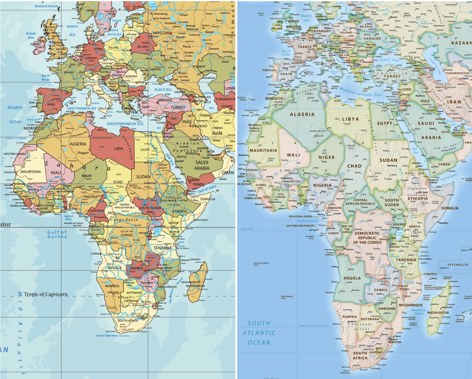
However, because of the way the projection represents the spherical Earth on a flat surface, land masses near the equator appear much smaller than they are, while areas at higher latitudes appear significantly larger.
Africa, for example, is often shown as being similar in size to Greenland on Mercator maps, even though the African continent is approximately 14 times larger.
Togo said the UN resolution recognizes that distorted cartographic representations have had long-term educational, cultural, geopolitical and socioeconomic consequences by reducing the perceived size of Africa and other regions in the global imagination.
Togo Foreign Affairs Minister Robert Dussey said the matter should be viewed primarily as one of scientific accuracy.
“This discussion is not a political discussion [but] a scientific discussion, because there is scientific proof so we all have to accept the reality,” Dussey said before the vote.
The UN resolution is not legally binding, meaning countries and institutions will not be required to stop using Mercator maps or exclusively adopt the Equal Earth projection. However, supporters expect the decision to influence school curriculums, digital platforms and government use of maps around the world.
The 2018 Equal Earth projection was developed by an international team of cartographers and is designed to preserve the relative size of countries and continents more accurately while still presenting the world in a visually familiar form.
The African Union endorsed the #CorrectTheMap campaign in August 2025 and subsequently asked Togo to lead efforts to gain international support for the initiative.
Supporters of the campaign argue that traditional map projections have shaped perceptions of global importance by visually enlarging countries in the northern hemisphere while shrinking Africa and other equatorial regions.
The campaign has also become part of a wider discussion about how Africa is represented in education, international institutions and global decision-making.
France announced ahead of the UN vote that it would move away from the Mercator projection and instead use the Eckert IV projection, which also seeks to represent land areas more accurately.
French Foreign Minister Jean-Noël Barrot said France would use map representations better suited to their intended purposes and more faithful to actual surface areas.
The Eckert IV projection is similar in principle to Equal Earth in that both seek to avoid the extreme size distortions created by Mercator.
Alternative equal-area projections are not new. The Gall-Peters projection gained attention in the 1970s after German historian Arno Peters promoted it as an alternative to Mercator, particularly because of its more accurate representation of land areas in Africa, South America and other parts of the Global South.
The Equal Earth design has since emerged as another alternative, combining proportional land areas with a layout supporters consider suitable for education and general public use.
Advocates say a more accurate map could help students and the wider public better understand the actual scale of Africa.
The #CorrectTheMap campaign has highlighted that the United States, China, India, Japan, Mexico and much of Europe could fit within Africa’s land area with room remaining.
Supporters also argue that the change carries broader symbolic importance at a time when African countries are seeking greater influence within international institutions and greater control over how the continent is represented globally.
Togo plans to host an event in Lomé during the first quarter of next year involving UNESCO, the African Union and technology companies, including Google Maps, to discuss implementation of the resolution and wider adoption of more accurate map projections.
Dussey said the initiative is also about African countries taking responsibility for correcting representations they believe have remained unchanged for too long.
“To those who say why now, I say: why not?” he said. “When we look at the world map … it is time for us to change the narrative.”
He added: “It’s time for us in Africa to take responsibility to change what we can change ourselves.”
Join Our Community Today
Subscribe to our mailing list to be the first to receive
breaking news, updates, and more.